-
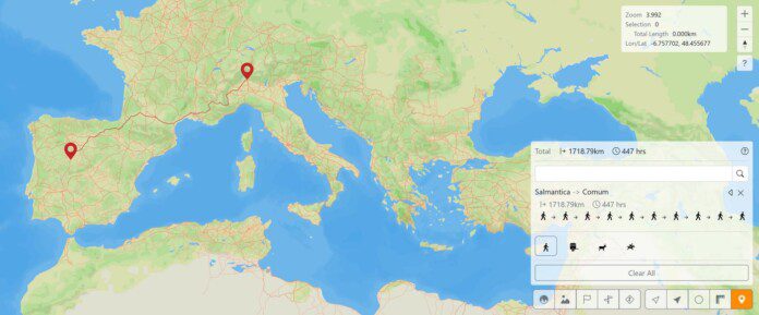
The Digital Road Map of the Roman Empire: Scientists Rebuild a 180,000-Mile Ancient Network
A vast digital reconstruction of the Roman Empire’s road network—covering nearly 180,000 miles—has just been completed, revealing the empire’s highways with unprecedented accuracy. The ambitious project, named Itiner-e, stands as the most comprehensive digital atlas ever created for the ancient world. Built by an international team of more than twenty researchers, the model visualizes how…
-
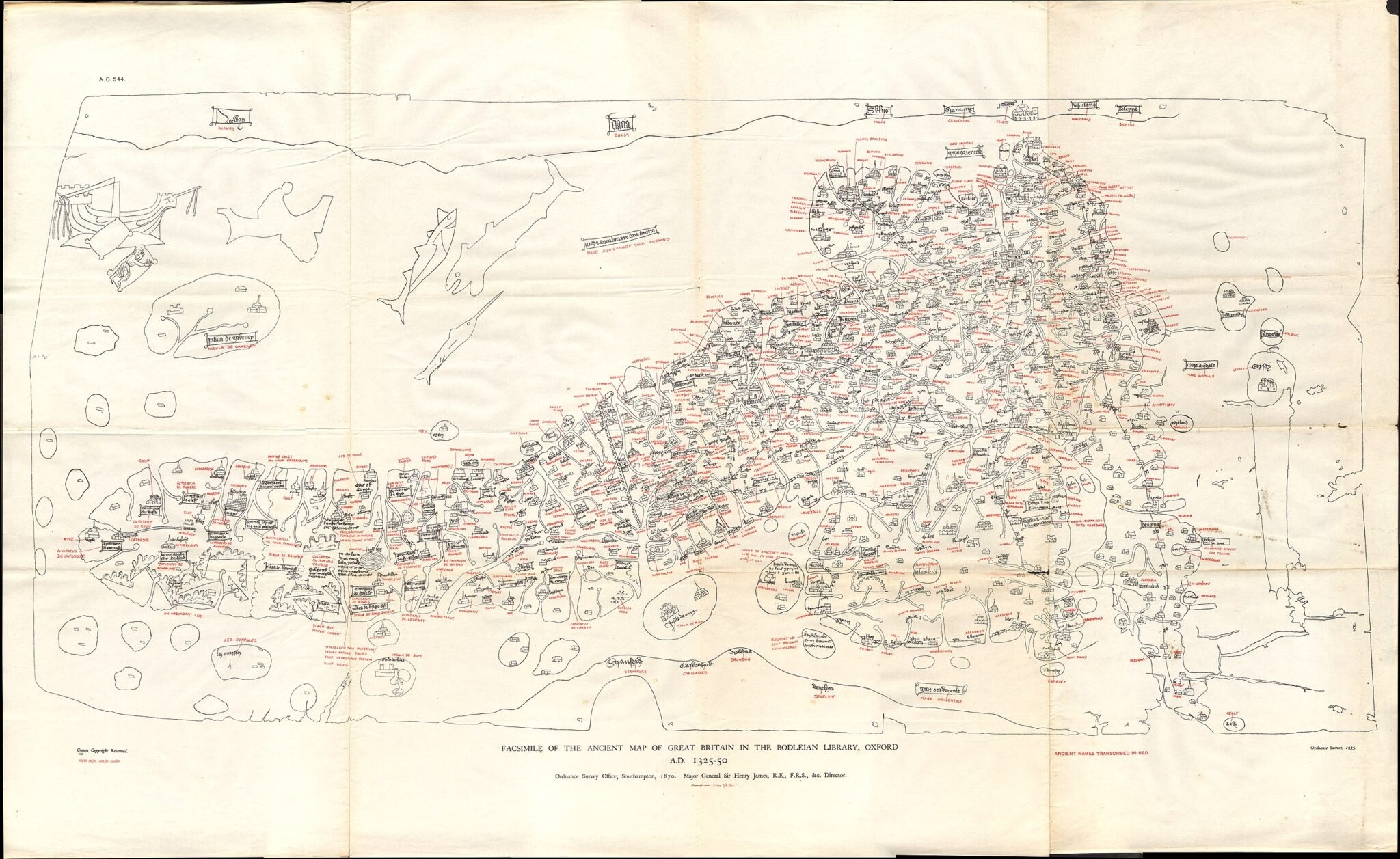
Digitally Reconstructed Roman Roads: How Medieval Britain’s Travel Routes Were Shaped Over 1,000 Years
A team of researchers has digitally reconstructed medieval travel routes across England and Wales, revealing how Roman roads influenced mobility for over a millennium after the empire’s fall. Historians and digital archaeologists have created a groundbreaking Geographic Information Systems (GIS) database based on the mysterious 15th-century Gough Map, which depicts England and Wales with intricate…