
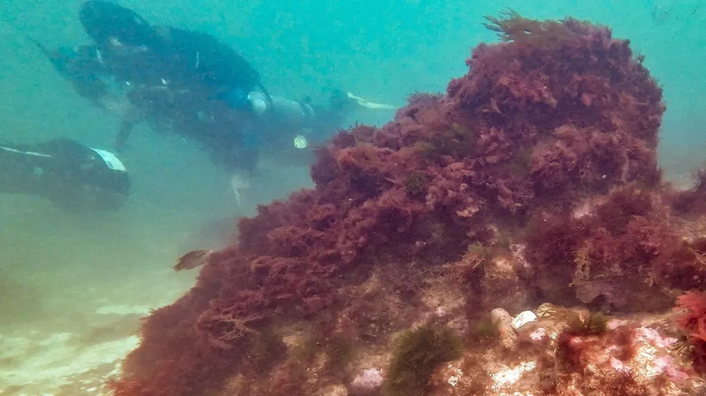
Divers surveying the seabed off Cromer on England’s Norfolk coast have documented stone structures associated with the submerged medieval town of Shipden. The work may help researchers determine whether some of the remains belonged to buildings and harbor installations or formed part of an attempt to hold back the advancing North Sea.
The underwater investigation is part of the Alfred Savin Project, developed by the Friends of Cromer Museum with support from volunteer divers from the East Anglian branch of the British Sub-Aqua Club. Calm conditions between June and August allowed the team to examine and photograph features lying more than 400 meters from the present shoreline.
The project’s interactive map marks roughly two dozen locations across the seabed. Several contain deliberately arranged flint, including sections described as walls or foundations, although their original functions have not yet been established.
Shipden Was More Than a Fishing Village
Shipden appears in the Domesday Book of 1086 as an established coastal community with 117 residents, agricultural land, livestock, a harbor and two churches. Later documents suggest it developed into a trading port whose vessels transported grain, timber and other goods rather than relying solely on fishing.
The records also chart the settlement’s growing vulnerability to coastal erosion. By 1317, the sea had already damaged Shipden’s churchyard. In 1337, land farther inland was obtained for a new church and burial ground because the original site was under increasing threat.
Storm activity around the North Sea was particularly intense between the 13th and 15th centuries. The St Mary’s Day storm of January 1362 caused widespread damage across eastern England and other parts of northern Europe, although no surviving document directly records its effects on Shipden.
The settlement’s original church had fallen out of use by the middle of the 14th century. Historical sources disagree over precisely when the sea reached the building, but it was underwater by about 1400.
Flint Structures Beneath the Sea
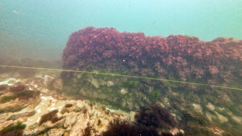
One of the locations examined by the divers contains the lower courses of a broad flint-built wall about six meters below the surface. Seaweed conceals much of the masonry, making its size and original form difficult to recognize during a dive.
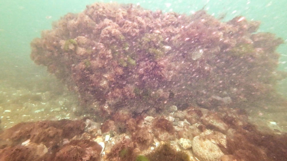
Specialist photography has allowed researchers to produce 3D models of several features. These digital reconstructions provide a clearer view of the stonework and allow comparisons between structures recorded at different points on the seabed.
What the wall once formed is still unclear. It may have belonged to a building, but a wharf or sea defense is equally possible. Researchers are now checking the structures against medieval records before attempting to reconstruct Shipden’s layout.
A line of flint structures is of particular interest because it may preserve evidence of efforts to protect the settlement from erosion. Further investigation will be needed to determine whether the stones were laid during the medieval period and whether they formed a single connected structure.
Searching for Shipden’s Lost Church
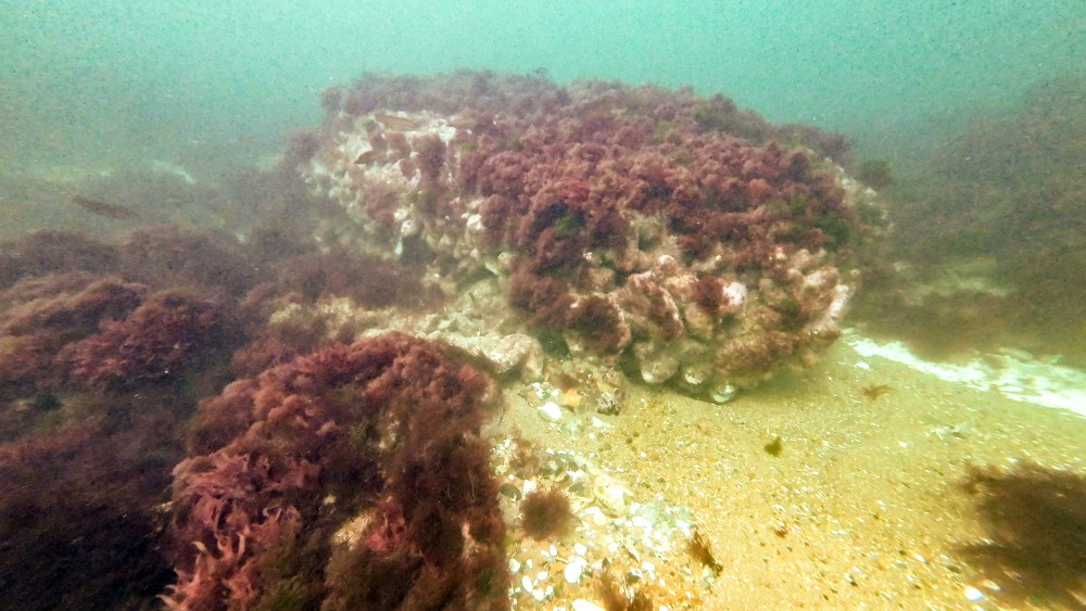
Local tradition has long associated an offshore obstruction known as Church Rock with the remains of Shipden’s St Peter’s Church. Stories passed down in Cromer even claimed that the church bell could sometimes be heard beneath the waves during stormy weather.
The project database does not currently identify any of the mapped features as the church. Flint masonry has been recorded at several locations, but its appearance alone is not enough to connect it securely with a religious building.
Church Rock also became part of a maritime accident in August 1888. The paddle tug Victoria, carrying about 100 passengers from Great Yarmouth, struck the submerged obstruction while approaching Cromer. Local rowing boats brought everyone safely ashore, but attempts to recover the damaged vessel failed.
Historical accounts state that parts of the wreck and the obstruction beneath it were later blasted with explosives to make the route safer for other vessels. That intervention may have altered or destroyed archaeological remains at the site.
Previous expeditions added further uncertainty. A diver visiting the area in 1982 reported seeing church walls, a doorway and houses beside what appeared to be a submerged road. During another dive in 1985, Martin Warren and David Pope encountered flint and chalk structures in poor visibility and believed that one could have belonged to the church.
The new survey is revisiting those observations with mapped coordinates, underwater photography and photogrammetry. Rather than confirming the legends surrounding Shipden, the work is beginning to show how much remains unresolved about the medieval settlement beneath the sea.
Cover Image: A diver examines a seaweed-covered stone feature during the underwater survey of medieval Shipden off Cromer. Credit: John Midgley / Alfred Savin Project, Friends of Cromer Museum.