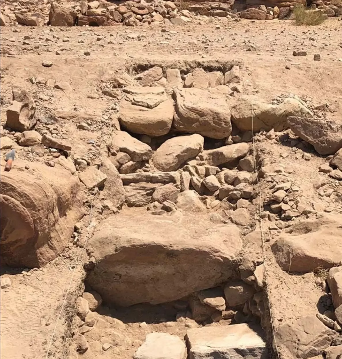
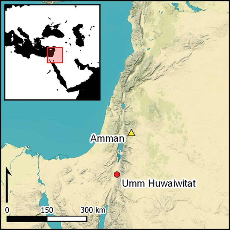
Archaeologists working above Wadi al Ghurab, on Petra’s western edge, are uncovering evidence of a complex settlement history stretching back more than 8,000 years. The site, known as Umm Huwaiwitat (“the place of walls” in local Bedouin dialect), may once have served as a secondary gateway to Petra—a hypothesis based on its rock-cut path, commanding views, and dense architectural remains.
A Strategic Knoll Overlooking Petra
Umm Huwaiwitat sits on a low rise where the Petra Plateau breaks toward the Jordan Rift Valley. Archaeologists have documented at least 12 extant stone walls, terrace supports, wells, and rock-cut cist graves spread over roughly one hectare. The site overlooks two major Nabataean and Roman landmarks: the sanctuary of Ras al-Silaysil at the summit and the so-called Pond Temple below.
A path carved directly into the cliff face indicates that this valley may have functioned as an alternative access route into the Petra Basin. This is the origin of the term “Petra’s back door,” a research-driven hypothesis rather than a marketing phrase—one meant to underscore the site’s strategic importance.
Layers of Construction and Reuse
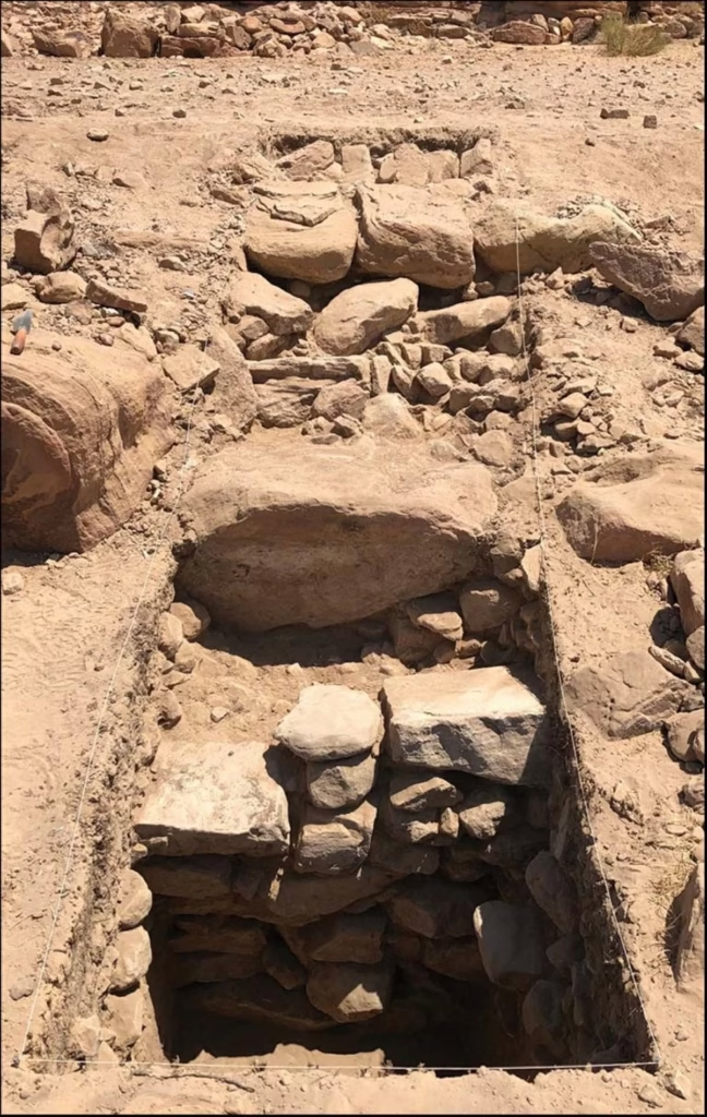
Excavations led by Dr. Daniel Plekhov, a U.S.-based archaeologist, reveal a palimpsest of building activity. Many walls survive only to one or two stone courses, while others are partially buried. Masonry styles range from single-faced cobble constructions to double-faced boulder walls, suggesting multiple building phases.
In one area, a wall of roughly cut stones was found beginning 50 centimeters below the surface and continuing to a depth of one meter, with Nabataean and Roman pottery embedded near its foundation. “These findings show that Umm Huwaiwitat was not a one-time settlement but a place that people returned to and reused repeatedly,” Plekhov said.
Rare Glimpses of the Late Neolithic
While Petra’s Nabataean and Roman periods are well known, Umm Huwaiwitat offers rare evidence from the Late Neolithic—a poorly documented era in southern Jordan. Excavators found traces of dung accumulation, burning, and ash deposits dating to the later sixth millennium BC, indicating a heavy reliance on livestock and possibly even fuel shortages.
These discoveries complement studies at Neolithic Beidha, thought to have been abandoned by this time. Together, the two sites allow researchers to reconstruct long-term patterns of animal management, land use, and settlement continuity in Petra’s hinterland.
A Landscape of Ritual, Production, and Movement
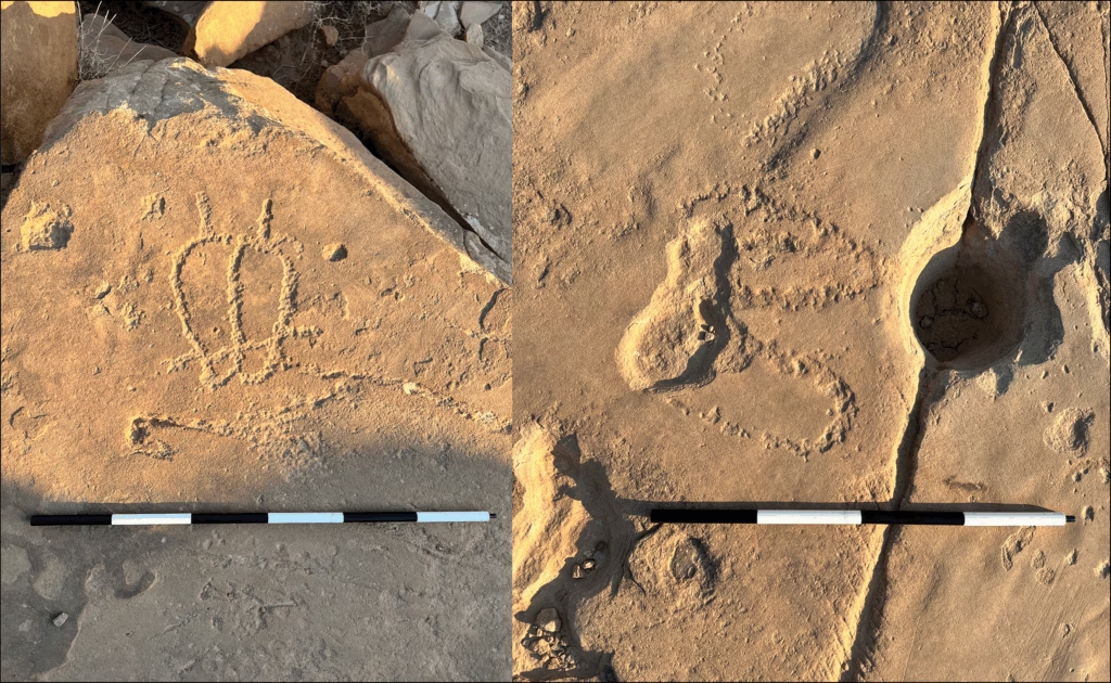
Petroglyphs of uncertain date—geometric carvings and pecked outlines of human footprints—dot the rock outcrops around Umm Huwaiwitat. The natural shape of the valley, combined with ancient terrace walls, turned the area into a catchment for water and sediment, making it an ideal place for both habitation and agriculture. Its proximity to Petra’s ceremonial centers also suggests a ritual dimension.
Plekhov emphasizes caution in interpreting the ancient remains:
“We shouldn’t assume that every terrace wall was agricultural or that every rock-cut chamber was purely funerary. Umm Huwaiwitat was a long-lived and culturally significant hub, and its functions likely shifted dramatically over time.”
Significance
The ongoing research at Umm Huwaiwitat is reshaping how archaeologists understand Petra’s periphery. Instead of being viewed solely as a monumental Nabataean capital, Petra is now seen as part of a complex cultural landscape that was exploited for millennia.
The idea of a “back door” to Petra illustrates how the city’s fame was supported by a broader network of routes, production zones, and sacred spaces—a narrative that extends well beyond its iconic rock-cut facades.