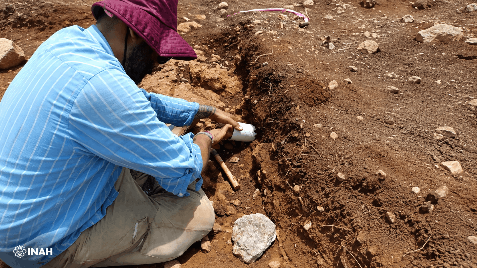
Ancient Maya families in the northern Yucatán Peninsula may have positioned their homes to take advantage of natural slopes, allowing rainfall to flow toward open land used for cultivation.
The possibility has emerged from a study led by archaeologist Carlos Matos Llanes and announced by Mexico’s National Institute of Anthropology and History (INAH). Researchers are examining four pre-Hispanic settlements: Tepakán in Yucatán and Bécal I, Bécal II and Bécal III in the municipality of Calkiní, Campeche.
All four were documented during archaeological salvage work connected with Section 3 of the Maya Train project. The new research moves beyond individual buildings to examine how domestic groups were placed within the wider landscape.
Empty Spaces Around Maya Homes
During fieldwork, archaeologists recorded clusters of domestic structures separated by open areas. Some of these apparently empty spaces extended for approximately 200 metres, raising questions about why they had been left largely free of permanent construction.
Matos Llanes is investigating whether those areas were deliberately preserved because their soils were suitable for cultivation. According to INAH, the residential groups were built around surfaces that could have supported crops, particularly food grown for household consumption.
This changes how the settlements are read. What first appears to be unused ground may have formed an important part of the domestic economy, providing families with productive land close to their homes.
The study does not yet establish which plants were cultivated there or whether every open area served the same purpose. Its starting point is the repeated relationship between residential remains, cultivable ground and the natural shape of the terrain.
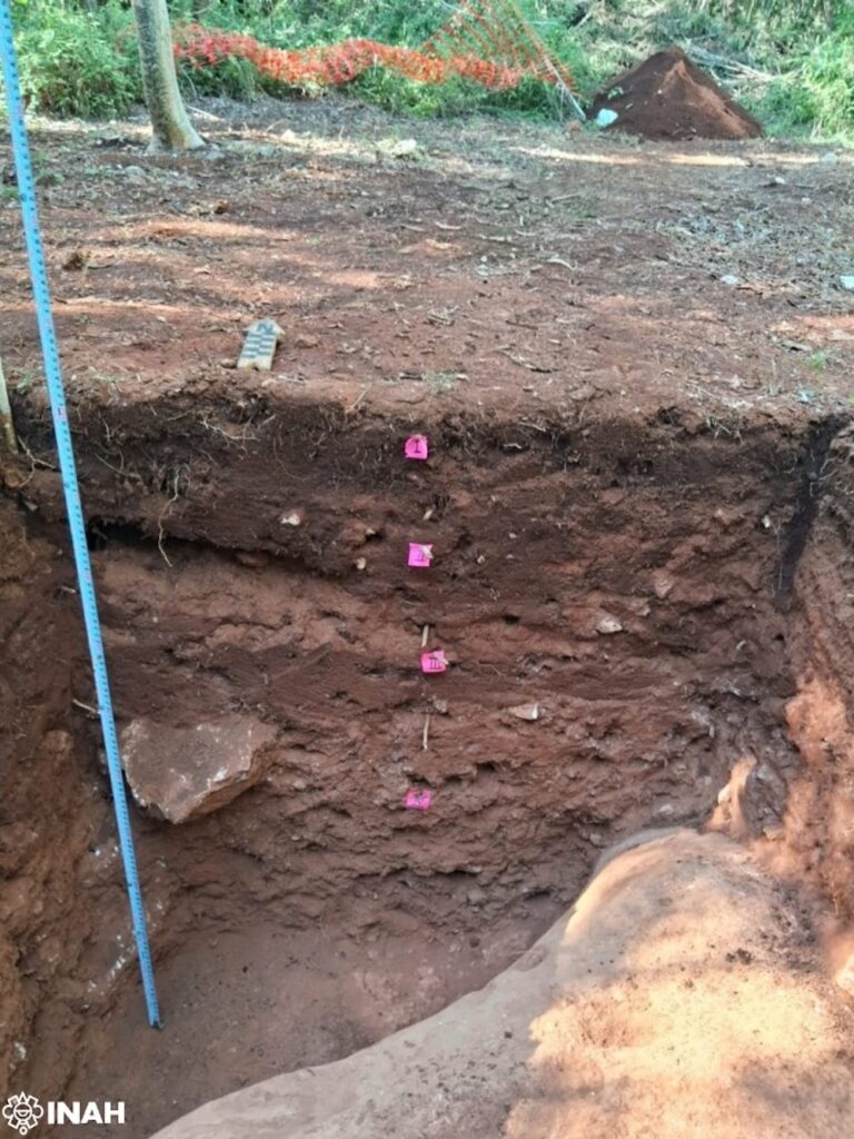
LiDAR Maps the Terrain
To examine that relationship, the team is using Geographic Information Systems and digital elevation models created from LiDAR point-cloud data. These models reveal small changes in elevation that can be difficult to recognise during excavation or from ground-level surveys.
The resulting maps allowed researchers to compare the position of domestic structures with nearby slopes and lower ground. Hydrological modelling was then used to estimate how rainfall would have moved across the surface.
The preliminary pattern suggests that the inhabitants may have used existing inclines to control the natural flow of rainwater. Instead of heavily reshaping the land, they could have placed buildings and productive spaces where the terrain already directed water in useful ways.
This does not amount to evidence of a constructed irrigation network. The research concerns a quieter form of landscape management: choosing where to build and where to leave land open based on soil, elevation and seasonal rainfall.
Looking Beyond Maya Monuments
Archaeological accounts of the Maya often centre on temples, palaces and monumental urban centres. Household landscapes offer a different view, showing how daily decisions about land and water may have supported communities outside ceremonial cores.
The four settlements provide an opportunity to study those decisions at a domestic scale. The arrangement of homes around cultivable surfaces suggests that food production was closely connected to residential organisation rather than confined to distant agricultural zones.
Further investigation will be needed to determine how the open areas were used and whether soil evidence supports the agricultural interpretation. For now, the LiDAR models have identified a consistent relationship worth testing: Maya households appear to have occupied higher ground while taking advantage of nearby slopes and lower surfaces.
The study forms part of the archaeological salvage programme coordinated by Manuel Pérez Rivas and Susana Echeverría Castillo. Its broader value lies in showing that knowledge of water, soil and food production can survive in the spaces between buildings—not only in the monuments that dominate the archaeological record.