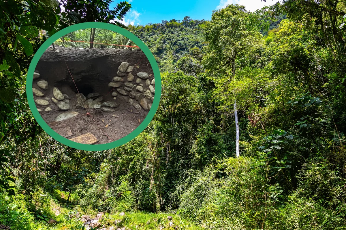
Deep beneath the dense rainforest of north-western Ecuador, traces of a forgotten human world are quietly resurfacing. What long appeared to be untouched jungle is now understood as a carefully shaped cultural landscape, revealed through airborne LiDAR scanning in the Andean Chocó region near Quito.
A Forest That Concealed Centuries of Human Planning
The discovery emerged from a heritage documentation project conducted in December 2025 by Quito’s Metropolitan Institute of Heritage (IMP) in the rural commune of San Francisco de Pachijal. The steep terrain and near-impenetrable vegetation of the Andean Chocó have historically limited archaeological fieldwork, leaving much of the region’s past unexplored.
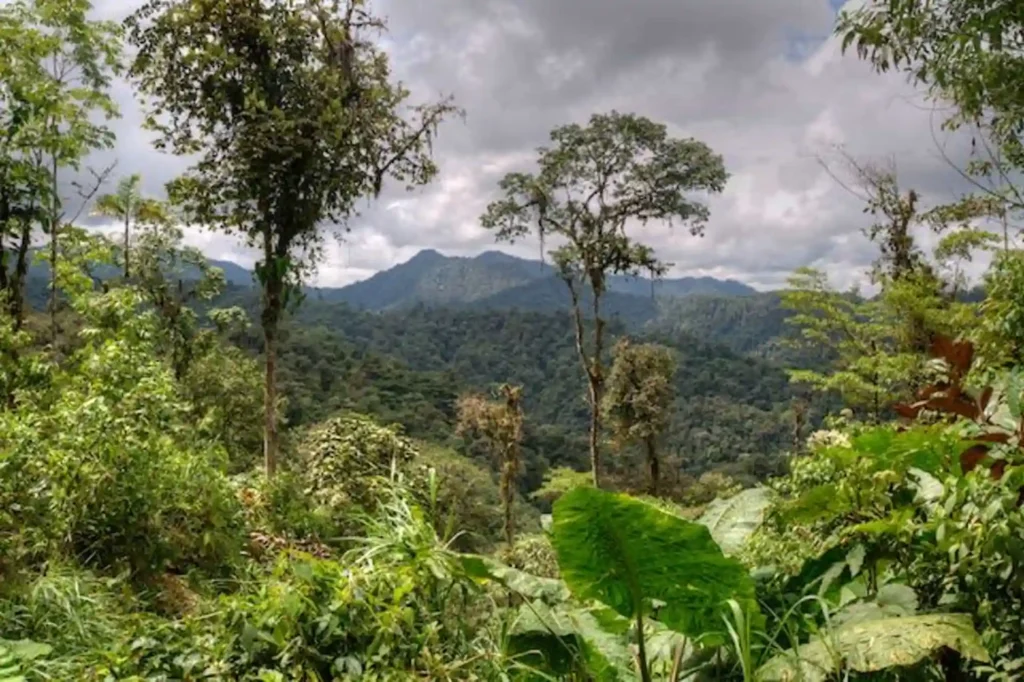
LiDAR—short for Light Detection and Ranging—changed that equation. By sending laser pulses through the forest canopy, researchers were able to generate high-resolution models of the ground surface. What initially appeared to be a modest site quickly expanded into something far more complex.
Hundreds of Hidden Structures Come Into Focus
Early surface observations suggested the presence of around forty earthen mounds and a handful of terraces. Once LiDAR data was analyzed, however, the scale of human activity became unmistakable. More than 200 mounds and over 100 terraces were identified across an area of approximately 600 hectares.
This finding is striking not only for its density but also for its implications. The surveyed zone represents barely two percent of the Andean Chocó, a region spanning over 280,000 hectares. Archaeologists now suspect that one of the largest pre-Hispanic landscapes in north-western Ecuador may lie hidden beneath the rainforest.
Roads, Terraces, and a Designed Cultural Landscape
The LiDAR imagery revealed a structured environment rather than scattered occupation. Circular and rectangular constructions are linked by ancient roads, forming interconnected clusters that point to long-term planning. These features suggest a landscape organized around agricultural production, social interaction, and ceremonial practices, rather than temporary or isolated settlement.
According to specialists involved in the project, the arrangement reflects deliberate environmental modification—evidence that past communities actively engineered their surroundings instead of simply adapting to them.
Clues to Advanced Hydraulic Knowledge
Ground investigations added another layer to the discovery. Near the San Francisco River, archaeologists documented a sunken rectangular structure whose form closely resembles architectural elements known from the Tulipe Archaeological Complex. The similarity points to shared construction traditions and a sophisticated understanding of water management among the region’s ancient inhabitants.
The Yumbo Culture Reconsidered
Based on architectural traits and associated material culture, researchers attribute the landscape to the Yumbo culture, a pre-Hispanic society historically associated with the north-western Andes. Until now, the Yumbo were often described through fragmented historical references. This newly mapped terrain suggests a far more extensive and organized presence than previously assumed.
Beyond Discovery: Protection and Heritage Planning
For the IMP team, the project extends beyond mapping ancient remains. The data is intended to support long-term site protection and strengthen heritage planning around Quito. As LiDAR continues to expose what the forest concealed, the Andean Chocó is increasingly understood not as an untouched wilderness, but as a human-shaped landscape with deep historical roots.
Cover Image Credit: Metropolitan Institute of Heritage (IMP)