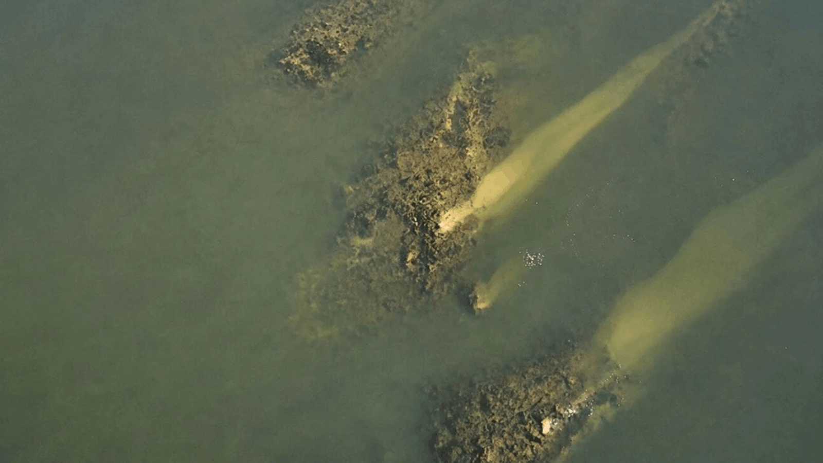
Exceptionally low water levels in the Danube have exposed parts of a vast Roman bridge built during the reign of Emperor Constantine the Great, allowing archaeologists to document foundations that normally remain hidden beneath the river.
The remains have emerged near the village of Gigen in northern Bulgaria, close to the ruins of the Roman city of Ulpia Oescus. The bridge once crossed the Danube from Oescus toward Sucidava, near present-day Corabia in southern Romania.
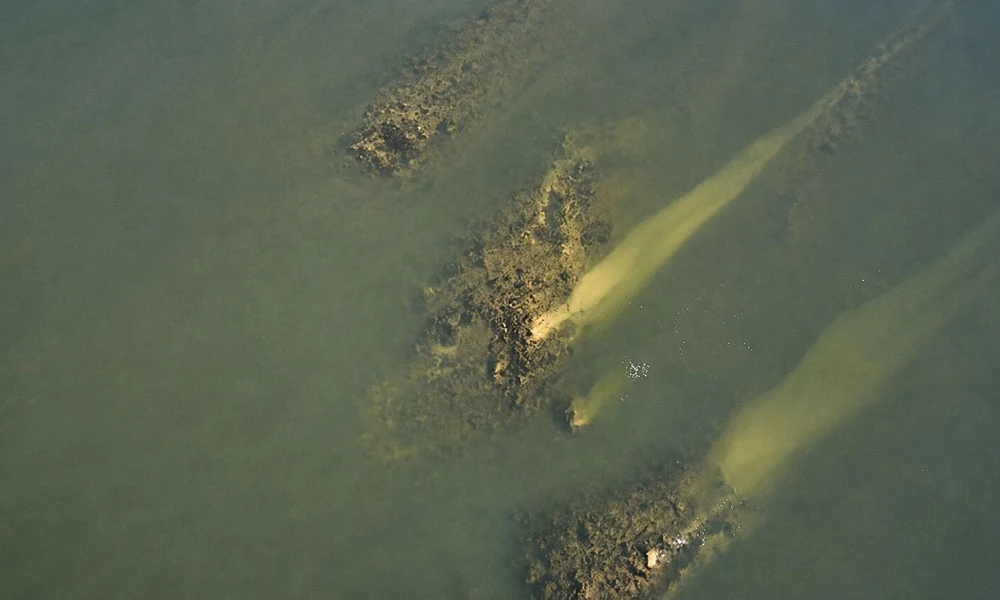
Archaeologists from the Regional Historical Museum in Pleven are using the unusually low water levels to examine and record the exposed structures. Drone photography has also been used to document sections of the bridge and their position in the river.
The monument, generally known as Constantine’s Bridge, was inaugurated in AD 328 and stretched for more than 2.4 kilometers when its approaches across the Danube floodplain are included.
That scale makes it one of the longest bridges known from the ancient world.
A Major Roman Crossing of the Danube
The bridge connected two important Roman centers on opposite sides of the lower Danube.
Ulpia Oescus stood on the southern bank in what is now Bulgaria, while Sucidava occupied a strategic position to the north in present-day Romania. The crossing provided a permanent connection across a river that formed one of the Roman Empire’s most important frontier zones.
Ancient sources associate the bridge with Constantine I, whose reign between AD 306 and 337 saw renewed Roman military activity north of the Danube.
Modern research places the bridge’s inauguration in July AD 328. Constantine himself is recorded at Oescus during that period, and researchers have suggested that he may have attended the opening of the crossing.
Only parts of the bridge survive today. Much of its course lies beneath the river or within the surrounding floodplain, making its original design difficult to reconstruct solely from remains visible on land.
The current low water levels therefore provide archaeologists with an unusual opportunity to inspect sections normally concealed by the Danube.
27 Possible Bridge Piers Detected Beneath the Danube
Researchers have been investigating the route of Constantine’s Bridge for decades, combining archaeological observations with modern geophysical methods.
A 2022 study published in the peer-reviewed journal Cercetări Arheologice brought together historical records, earlier archaeological research, bathymetric mapping and geomagnetic surveys to reconstruct the bridge more precisely.
A multibeam sonar survey conducted in 2017 identified 27 possible traces of bridge piers beneath the Danube.
The features followed an approximately 820-meter-long line across the riverbed. Researchers found that the suspected piers were spaced at an average distance of about 30 meters from one another.
Further investigations on the Romanian side added another piece to the picture.
Geomagnetic surveys of the floodplain identified seven anomalies interpreted as possible remains of additional bridge piers. Their alignment and spacing corresponded with the underwater structures and the surviving remains associated with the northern end of the bridge.
The results provided some of the strongest modern evidence for the original route and scale of the Roman crossing.
Earlier attempts had found far less. A Romanian hydrographic investigation carried out in 1933, for example, detected only three submerged bridge piers.
The combination of sonar, geophysical data and periods of unusually low water is now giving archaeologists a more detailed view of a monument whose remains are spread across both the modern river channel and its floodplain.
A Monument That Survived Only a Few Decades
Despite the enormous scale of its construction, Constantine’s Bridge appears to have had a relatively short working life.
By AD 367, the bridge seems to have been out of use, although the exact date and circumstances of its destruction remain uncertain.
Political and military conditions along the Danube changed rapidly during the fourth century, and Roman control north of the river became increasingly difficult to maintain.
What survives of the bridge nevertheless demonstrates the scale of Roman engineering on the empire’s frontier.
Building a permanent crossing over the lower Danube required a long sequence of foundations and piers capable of supporting a superstructure across both the river channel and the surrounding floodplain.
For archaeologists in Bulgaria, the present conditions offer a rare chance to examine part of that system directly.
The Regional Historical Museum in Pleven is documenting the exposed remains while water levels remain low. When the Danube rises again, many of the structures now visible near Oescus are expected to disappear beneath the river once more.
Cover Image: Aerial view of the exposed foundations of Constantine’s Bridge in the Danube near Gigen, Bulgaria, where low water levels have revealed sections of the 4th-century Roman crossing. Credit: Martin Milev/Pleven Regional History Museum.